
Work smarter with iDig CONNECT 3D: Simple, Precise, and Cost-effective – All in One Tool
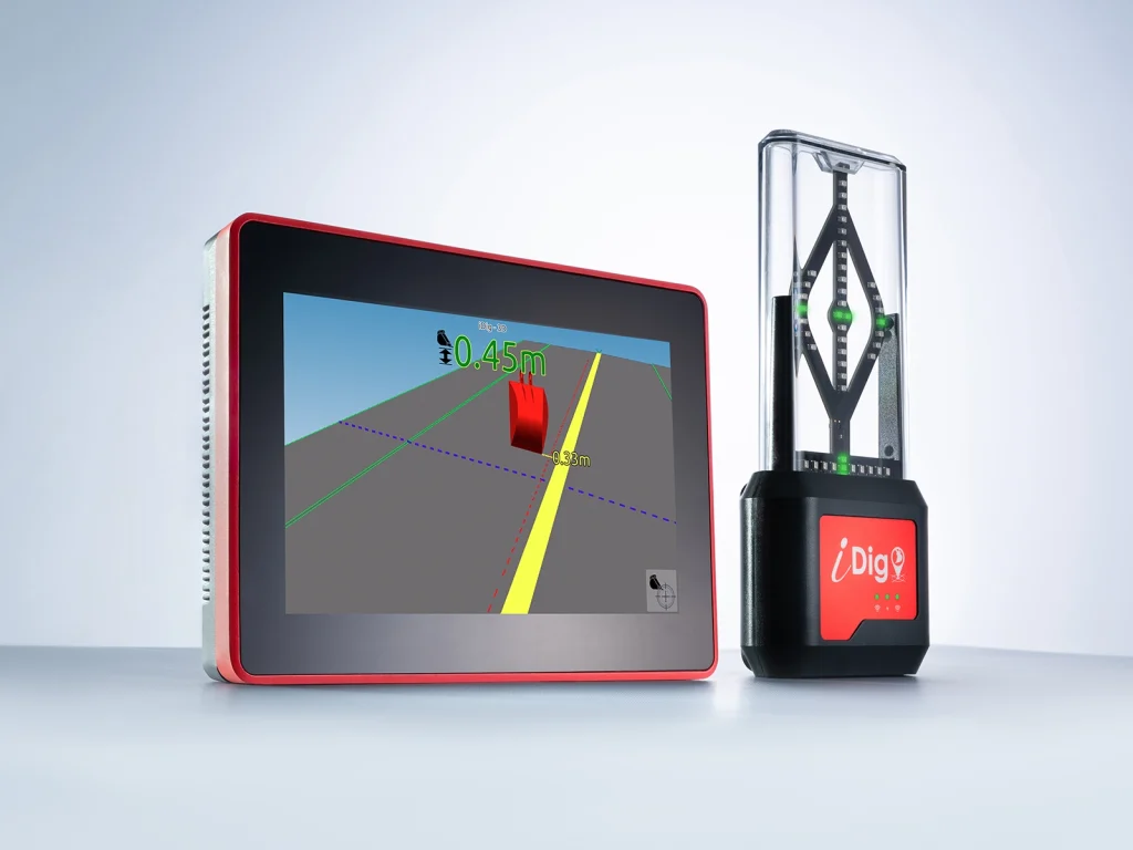
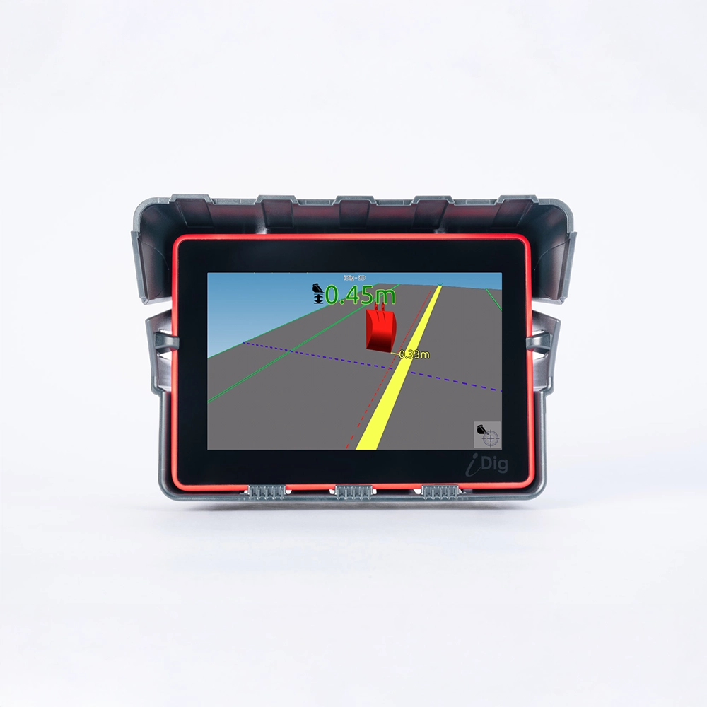
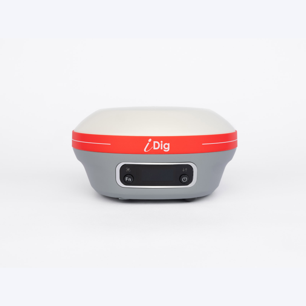
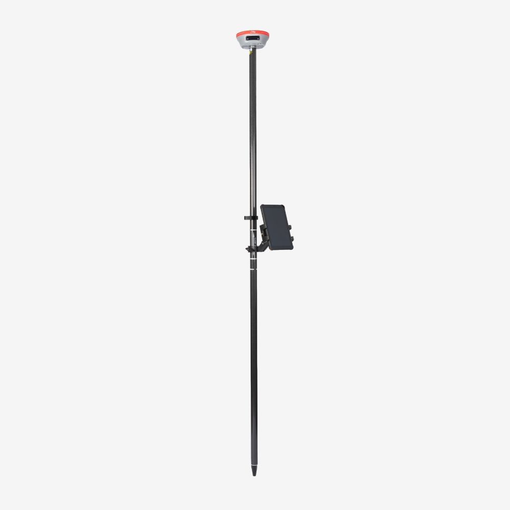
Transform your excavator with CONNECT 3D, a cutting-edge system that leverages a single GNSS for precise on-site localisation. It doubles as a rover for surveys and layouts, offering unparalleled accuracy. Track your bucket’s position in real-time: no stakes or lasers required. Upload projects effortlessly by importing DXF or LandXML files via USB or the cloud with a shared connection. For added convenience, design in 3D directly on your control box for smooth execution. Navigate your projects in 3D for a full view, or switch to perspective and cross-section modes for more detailed analysis. Simplify your workflow by using the bucket to measure coordinates for trenches, locations, and more. Plus, tailor your screen settings to meet your unique needs with CONNECT 3D.
Applications
Control Box
Our Dual core Control box is a powerful and robust tool equipped with software designed with and for excavator operators. It has an intuitive and user-friendly interface built with features such as:
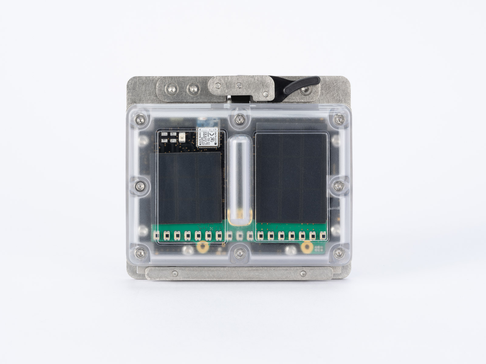
Sensors
Our unique wireless solar-rechargeable sensors snap onto your excavator and unclip to switch from one excavator to another in a few minutes.
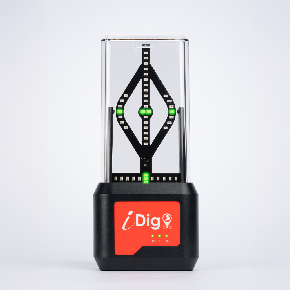
Bargraph
Our LED display bargraph acts as a real assistant in your cab. The green, red, and orange lights function as reliable positioning indicators within your field of vision, providing accurate real-time guidance. Including additional LEDs to provide tilt/rotate information when working with leading manufacturers such as Rototilt, Steelwrist, Engcon and more.